Best Map App in 2026: 9 Apps Compared
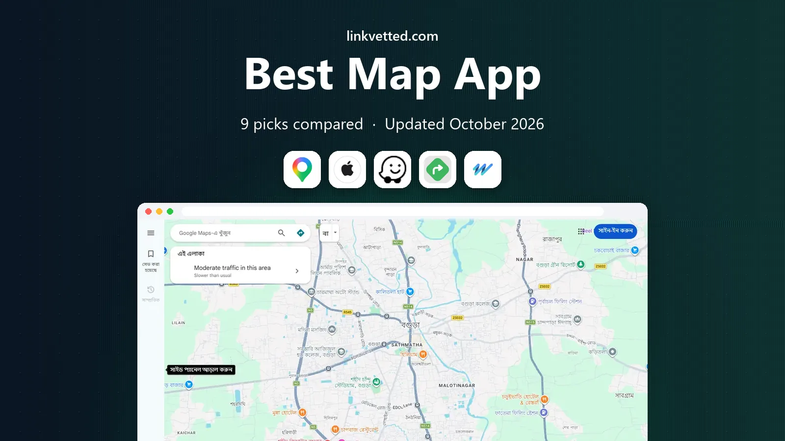
Looking for the best map app in 2026? We compared 9 navigation apps for driving, transit, walking, and offline use to help you pick the right one today.
- Editor's choice
 Google Maps
Everyday driving and local search
Starts atFreeVisit maps.google.comFull review - Great alternative
 Apple Maps
iPhone users who want simple navigation
Starts atFreeVisit apple.comFull review - Also consider
 Waze
Live traffic and driver reports
Starts atFreeVisit waze.comFull review
TL;DR:
- Google Maps remains our pick for most people because it covers driving, transit, walking, and local places in one free app.
- Waze is the better choice when live driver reports and rerouting around traffic matter most on a daily drive.
- HERE WeGo, OsmAnd, and Organic Maps are the strongest options for offline maps, travel abroad, and areas with weak signal.
- Apple Maps is a strong, simple choice on iPhone, with good privacy controls and clean turn-by-turn directions.
- Paid driving apps such as Sygic and TomTom GO Navigation can be worth it for frequent drivers who want speed camera alerts and detailed lane guidance.
Quick comparison
| Tool | Best for | Starts at | Free plan? | |
|---|---|---|---|---|
| Google Maps | Everyday driving and local search | Free | Yes | Visit |
| Apple Maps | iPhone users who want simple navigation | Free | Yes | Visit |
| Waze | Live traffic and driver reports | Free | Yes | Visit |
 MapQuest | Simple route planning in a browser | Free | Yes | Visit |
 HERE WeGo | Offline maps and public transit | Free | Yes | Visit |
 Sygic | Offline driving with speed alerts | See website | Free trial | Visit |
 TomTom GO Navigation | Frequent drivers who want TomTom traffic | See website | Free trial | Visit |
 OsmAnd | Detailed offline outdoor maps | Free | Yes | Visit |
 Organic Maps | Private offline maps with no ads | Free | Yes | Visit |
The best map apps
We compared official feature pages, pricing pages, and app store listings for driving, transit, walking, cycling, and offline use. These nine apps cover the main needs without asking you to pay for features you will never use.

Google Maps is our pick for most people, and the reason is simple coverage. It finds places, hours, reviews, and photos in most towns, and it gives clear driving, transit, walking, and cycling routes in the same app. For a daily commute or a weekend trip, that breadth saves you from switching between three different tools.
The live traffic view is also useful in practice. It can reroute you around a jam, show an arrival time that updates as conditions change, and suggest a transit option when driving looks slow.
The catch is that Google Maps works best when it can use your location and search history, so we suggest checking the location and history settings after you install it. Offline areas help abroad or in rural areas, but they do not last forever, so download them before you leave and refresh them for a long trip.
- Very broad place data and reviews
- Strong transit, walking, and cycling directions
- Offline areas for trips with weak signal
- Offline maps expire and need refreshing
- Privacy settings take a few minutes to review
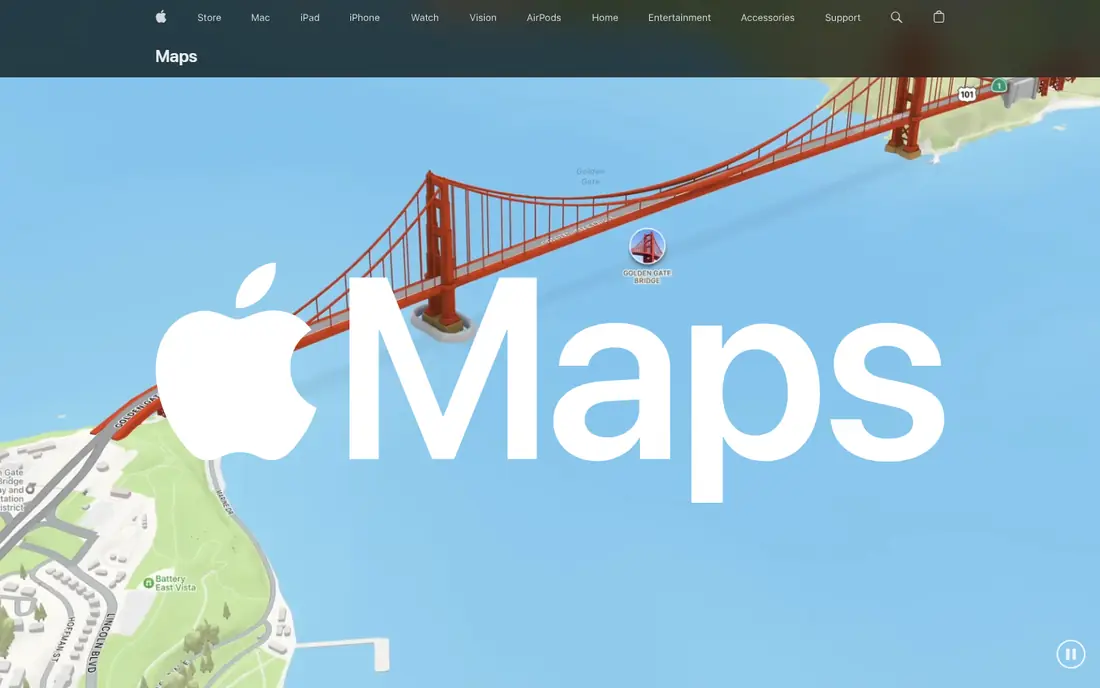
Apple Maps suits people who want navigation that feels like part of the phone rather than a separate project. It is already on Apple devices, it works well with Siri and CarPlay, and its turn-by-turn guidance is calm and easy to follow.
We like the way it handles privacy. Apple states that Maps does not tie your searches and routes to your Apple ID in the same way some other services do, and you can manage location permissions in the system settings. The maps themselves have improved a lot in recent years, with better detail for roads, buildings, and walking paths in many places.
The main weakness is depth of local information. In some smaller towns, business hours, photos, and reviews can be thinner than on Google Maps. If you drive in a place you do not know well, it is worth checking opening hours on the business site before you set off.
- Clean directions and good voice guidance
- Built into iPhone, iPad, Mac, and Apple Watch
- Privacy controls are easy to find
- Place data can be thinner outside major cities
- Fewer community reports than Waze

Waze is the app we reach for on a regular commute where five minutes matter. Other drivers report crashes, roadworks, hazards, and slow traffic, and Waze uses those reports to reroute you quickly. That community layer is the reason it still stands out, even though Google owns it.
The interface is brighter and busier than Google Maps, and that is a fair trade for some drivers and a drawback for others. If you prefer a quiet map, you can turn off some icons and alerts in settings. The core value stays the same: it tells you what is happening on your exact route right now, not just what traffic usually looks like at that hour.
Waze is less useful as an all-purpose map. Transit directions, walking routes, and detailed place information are not its strengths. Use it for driving, and keep another app handy if you need to plan a bus journey or explore a neighbourhood on foot.
- Fast rerouting around traffic and road closures
- Driver reports for hazards, police, and crashes
- Fun and clear voice prompts
- Ads and a busy map can distract some drivers
- Weaker transit and walking directions
MapQuest is a good pick if you plan routes on a computer and like to see the whole journey at a glance. Adding several stops, checking distances, and printing or sharing a route is straightforward. It does not ask you to learn a new system, and that simplicity still counts for road trips and delivery rounds.
The mobile app covers the basics, including turn-by-turn driving directions, but it does not match the live traffic depth or place detail of the leaders. For a short, familiar drive, that may not matter. For a long drive through busy cities, we would pair it with Waze or Google Maps for live updates.If your main need is a quick route with stops, rather than minute-by-minute traffic help, it is a low-friction choice.
- Easy multi-stop route planning on the web
- No account needed for basic directions
- Clear printed style directions
- Mobile app feels dated next to newer rivals
- Live traffic detail is thinner than Waze or Google Maps
HERE WeGo is our pick for travellers who want to download maps before a trip and then stop worrying about data. You can save whole countries or regions, get turn-by-turn driving directions offline, and use transit directions in many cities without a constant connection. That makes it a strong second app for holidays and work trips.
The transit coverage is a real plus. In supported cities, it shows bus, train, and tram options with times and changes, which helps when you arrive somewhere new. Driving directions are clear, with lane guidance on many routes, and the app stays readable in bright light.
The weakness is local discovery. You will find fewer reviews, photos, and business details than on Google Maps, so use a search app or a local guide when you need to choose a restaurant or check a shop. For pure navigation, especially offline, HERE WeGo is hard to beat at its price.
- Free offline maps for whole regions
- Solid transit directions in many cities
- Works well for travel abroad
- Place reviews and photos are limited
- Interface feels plain next to Google Maps
Sygic suits drivers who spend a lot of time on the road and want a dedicated driving app rather than a general map. Its offline maps are detailed, its guidance is steady, and its speed alerts help you stay aware of limits on unfamiliar roads. The head-up display feature, which projects key directions onto the windscreen view on supported devices, is a nice touch for night driving.
We like that Sygic works without a data connection once maps are downloaded. That matters on rural roads, on cross-border trips, and when roaming charges are a concern.
The catch is cost. The free version is limited, and the features most drivers want, such as live traffic and camera alerts, sit in paid plans. Check the current plan on the Sygic site for your region before you commit, and try the trial on a real drive first.
- High quality offline maps
- Speed limit and speed camera alerts in paid plans
- Head-up display option on supported phones
- Best features sit behind a paid plan
- Pricing varies by region and plan, so check before you buy
TomTom GO Navigation is built for people who drive a lot and want traffic information they can trust. TomTom has collected traffic data for years, and the app uses it to suggest faster routes and warn you about delays ahead. Lane guidance is clear at complex junctions, which reduces last-minute lane changes.
The app also works offline for downloaded maps, so a weak signal does not leave you without directions. Speed camera alerts, where legally allowed, and clear arrival times make it a calm companion on motorway journeys and long commutes.
The main drawback is that it is a paid subscription, and it does not try to be a general local search app. If you also need transit directions and restaurant reviews, you will still need another app. For driving alone, though, it is one of the most focused options on this list.
- TomTom traffic data and reliable rerouting
- Clear lane guidance and speed camera alerts
- Offline maps for driving
- Subscription cost adds up over time
- Less useful for transit, walking, and place search
OsmAnd is the map for walkers, cyclists, and travellers who want detail that mainstream apps often miss. It uses OpenStreetMap data, so footpaths, cycle routes, hiking trails, and contour lines show up well in many areas. You can download maps for offline use, add overlays, and plan routes that follow trails rather than main roads.
That depth comes with a learning curve. The settings menu is large, and the first setup takes longer than Google Maps or Apple Maps. Once you have chosen your map style and downloaded your region, though, it becomes a dependable tool for outdoor days and for travel in areas with limited coverage.
The free version covers a lot, and a paid option adds more downloads and features. If you hike, cycle, or explore on foot, OsmAnd is worth the setup time. If you only need driving directions, a simpler app will serve you better.
- Very detailed OpenStreetMap data for trails and paths
- Full offline use
- Highly customisable map styles and overlays
- Interface takes time to learn
- Search and place data can feel less polished than Google Maps
Organic Maps is our pick if privacy matters more to you than live traffic. It is free, it shows no ads, it asks for no account, and its maker states that it collects no personal data. Maps are based on OpenStreetMap, they download for offline use, and navigation for driving, walking, and cycling works without a connection.It opens quickly, it renders maps cleanly, and it covers hiking trails and cycle paths well for an app of its size.The trade-off is clear: there is no live traffic, no driver reports, and less business detail.## How we picked these We compared official feature pages, pricing pages, and app store listings for each app, and we checked that each homepage loads and belongs to the product named. We favoured apps that are still maintained in 2026, that cover a clear use case, and that work for ordinary drivers, walkers, and travellers rather than only for specialists. We also looked at offline support, transit coverage, privacy statements, and whether key features sit behind a paywall.
We did not claim hands-on road tests for every route, and we did not rely on a single review site. Where pricing varies by region or plan, we wrote See website rather than guessing a figure. That approach keeps the comparison honest, and it means you should still check the current plan on the vendor site before you pay.
- Completely free with no ads and no tracking, according to its maker
- Fast offline maps and navigation
- No account needed
- No live traffic data
- Place information is thinner than on Google Maps
What to check before you choose a map app
Start with how you travel most days. A daily driver needs live traffic and fast rerouting, while a walker or cyclist needs good paths and offline maps. A traveller needs maps that download in full and work without roaming data. Matching the app to that main use matters more than picking the app with the longest feature list.
Driving, transit, and walking
Check whether the app covers all the modes you use. Some apps are strong for driving and weak for transit, and some are the reverse. If you mix modes, pick an app that handles at least two of them well, or keep a second app for the mode it misses.
Offline maps and data use
Download maps on Wi-Fi before a trip, and test offline navigation near home first. Some apps limit how long offline areas last, and some limit how many regions you can store. If you travel abroad, check roaming and map download limits before you leave.
Privacy and battery use
Review location permissions, history settings, and whether the app offers a private mode. Navigation apps can use a lot of battery, especially with the screen on, so carry a car charger or a power bank on long days. A simple app with offline maps often uses less data, but screen brightness still drives battery use.
FAQ
What is the best map app for most people?
Google Maps is the safest default because it covers driving, transit, walking, cycling, and local places in one free app. Apple Maps is a close second on iPhone, and Waze is better if live traffic reports matter most to you.
What is the best map app for offline use?
HERE WeGo, OsmAnd, and Organic Maps are the strongest offline options. HERE WeGo is best for driving and transit abroad, OsmAnd is best for trails and outdoor detail, and Organic Maps is best if you want a free, private map with no ads.
Is Waze better than Google Maps for driving?
Waze is often better for a commute because driver reports and rerouting react quickly to crashes and closures. Google Maps is better for place search, transit, and walking, so many drivers keep both and use Waze for driving.
Do I need to pay for a good map app?
No, in most cases. Google Maps, Apple Maps, Waze, HERE WeGo, and Organic Maps are free for core navigation. Paid apps such as Sygic and TomTom GO Navigation make sense if you drive a lot and want their traffic data, camera alerts, and offline driving features.
Which map app is best for privacy?
Organic Maps states that it has no ads, no tracking, and no account requirement, which makes it the clearest privacy pick here. Apple Maps also has strong privacy controls on Apple devices. Check the privacy policy of any app you install, and review its location permissions in your phone settings.
Can I use a map app without mobile data?
Yes, if you download maps in advance. HERE WeGo, OsmAnd, Organic Maps, Sygic, and TomTom GO Navigation support offline maps, and Google Maps lets you download offline areas. Test the offline route before you rely on it, and keep a charger handy.