Best Geospatial Software in 2026: 8 Tools Compared
Compare the best geospatial software for mapping, spatial analysis and location data, from free desktop GIS to cloud platforms and map APIs. See our top pick.
- Editor's choice
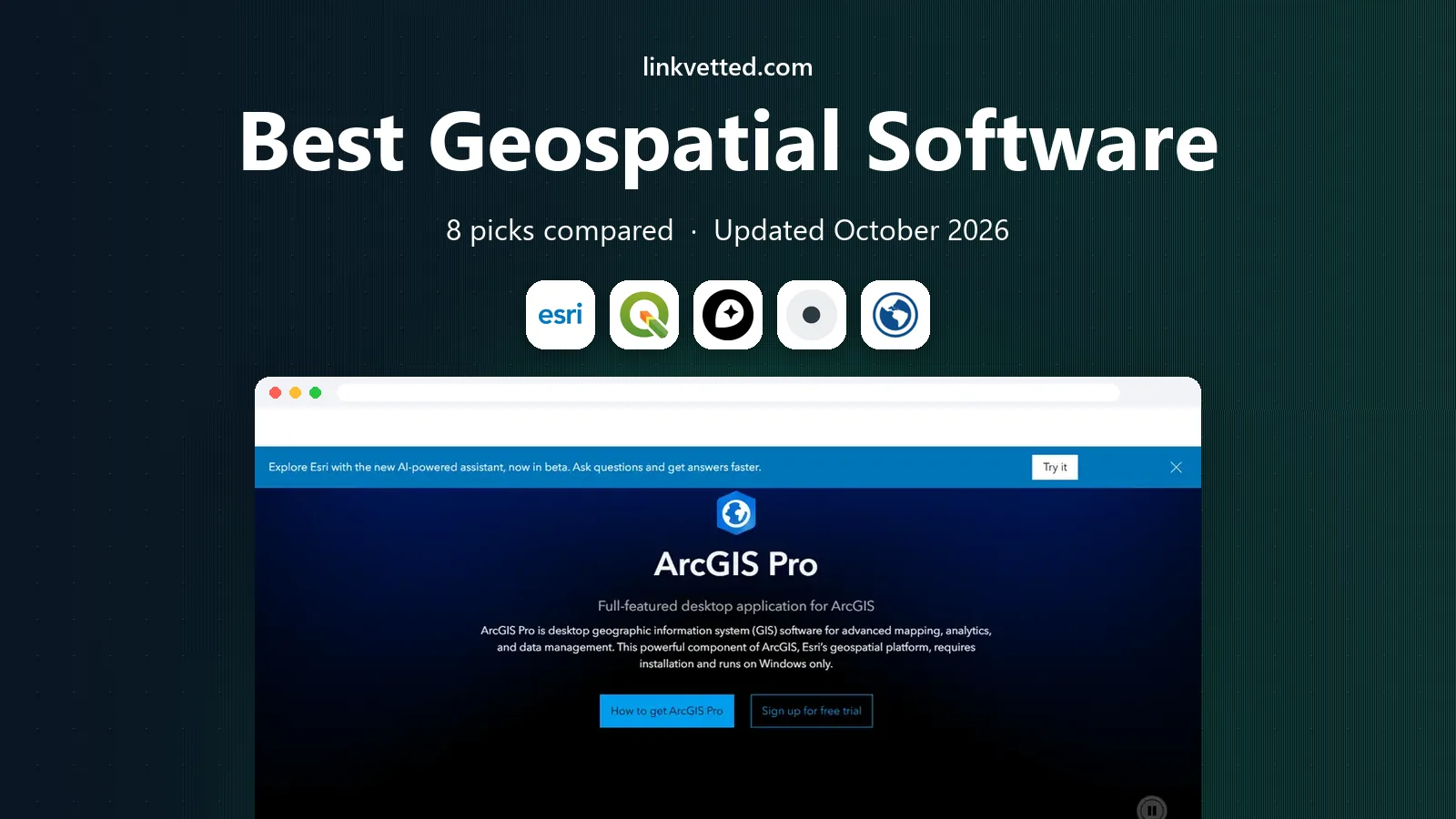
 ArcGIS Pro
Enterprise GIS analysis
Starts atSee websiteVisit esri.comFull review - Great alternative
 QGIS
Free desktop GIS
Starts atFreeVisit qgis.orgFull review - Also consider
 Mapbox
Custom maps in apps
Starts atSee websiteVisit mapbox.comFull review
TL;DR:
- QGIS is the best free desktop GIS for most users, while ArcGIS Pro remains the enterprise standard for deep analysis and shared Esri workflows.
- Mapbox and CARTO matter most when your product is a map inside an app or website, not a desktop analysis project.
- Global Mapper suits teams drowning in file formats and LiDAR, while Google Earth Pro suits fast visualization and presentations.
- Check data formats, coordinate systems and export options before you commit, because moving a large spatial project later is costly.
Quick comparison
| Tool | Best for | Starts at | Free plan? | |
|---|---|---|---|---|
| ArcGIS Pro | Enterprise GIS analysis | See website | Free trial | Visit |
| QGIS | Free desktop GIS | Free | Yes | Visit |
| Mapbox | Custom maps in apps | See website | Yes | Visit |
 CARTO | Cloud spatial analytics | See website | Free trial | Visit |
 Global Mapper | Format and LiDAR work | See website | Free trial | Visit |
 Google Earth Pro | Fast 3D visualization | Free | Yes | Visit |
 GRASS GIS | Raster analysis | Free | Yes | Visit |
 Maptitude | Desktop mapping with data | See website | Free trial | Visit |
The best geospatial software
We compared desktop GIS, cloud platforms and map APIs on analysis tools, data support, sharing options and price. Free tools are listed as Free where the core product costs nothing.

ArcGIS Pro is the standard for teams that need serious spatial analysis, 3D scenes, network analysis and shared enterprise workflows. It connects to ArcGIS Online and ArcGIS Enterprise, so a team can publish maps, apps and dashboards from the same project. Government agencies, utilities and large consultancies often require ArcGIS formats, which makes Pro the safe choice for collaboration in those sectors.
The catch is price and complexity. Licensing is quote based for many teams, training takes time, and the full value appears only when you use the wider Esri platform. For a solo analyst or a small team with a tight budget, QGIS may cover the same analysis at no license cost. For enterprise teams with Esri partners and data, ArcGIS Pro remains the reference tool.
- Deepest analysis toolset
- Strong 3D and network tools
- Wide enterprise integration
- Costly licensing
- Steep learning curve
- Best value inside an Esri system

QGIS is our pick for most desktop GIS users, because it offers a complete GIS at no license cost. It handles vector and raster data, spatial analysis, map layout and database connections, and its plugin library adds tools for hydrology, network analysis, remote sensing and more. Small consultancies, nonprofits, students and local governments use QGIS for real production work, not just learning.
The weakness is polish and enterprise sharing. QGIS does not include a built-in ArcGIS Online style publishing platform, so sharing web maps needs extra tools such as QGIS Server or a cloud platform. The interface can also feel crowded for beginners. If you can accept those limits, QGIS gives you professional GIS power without a license bill.
- Free and open source
- Huge plugin library
- Strong format support
- Interface can feel busy
- Enterprise sharing needs extra setup
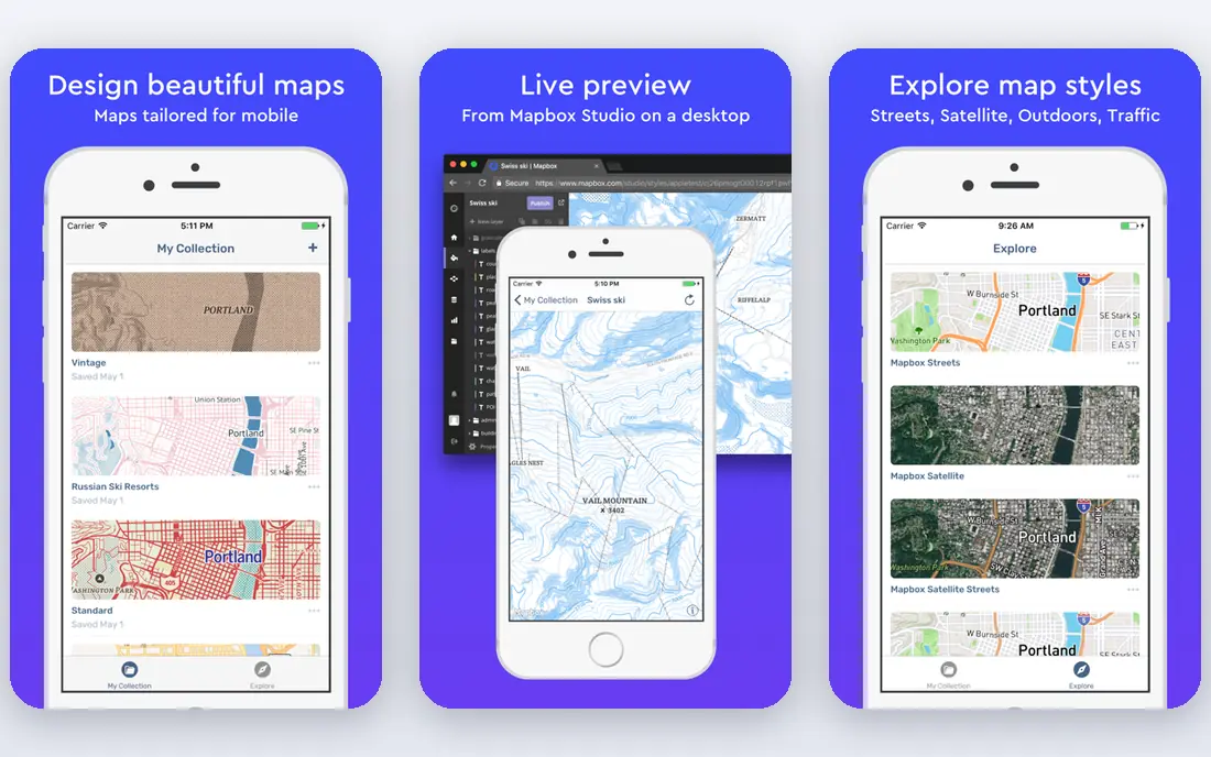
Mapbox is the pick when your end product is a map inside an app or website. Mapbox Studio lets designers control every map style detail, while GL JS and mobile SDKs render fast vector maps with 3D terrain. Geocoding, directions, matrix and static image APIs round out the platform, and the documentation is among the best for map developers.
The catch is billing and data gaps. Mapbox uses pay-as-you-go pricing, with a free tier that covers many early products, but costs rise with map loads and API calls. It also has no Street View or built-in points-of-interest database, so a nearby search feature needs a separate data source. For custom branded maps, Mapbox still leads this list.
- Beautiful custom vector maps
- Strong developer tools
- Generous free tier for map loads
- No built-in places database
- Usage billing can surprise at scale
CARTO suits data teams that work in cloud warehouses and need spatial analysis at scale. It connects to major warehouses, lets analysts run spatial SQL, and publishes interactive maps and dashboards without a desktop GIS workflow. Retail, logistics, telecom and public sector teams use CARTO for site selection, territory analysis and location intelligence.
The weakness is price transparency and desktop fit. CARTO pricing is quote based, and a solo analyst who only needs a desktop map may find it overkill. For teams that already store data in a warehouse and need to share spatial results across a company, CARTO offers a cleaner path than exporting files between desktop tools.
- Cloud-native spatial analysis
- Warehouse connections
- Strong visualization and dashboards
- Quote-based pricing
- Less suited to single desktop analysis tasks
Global Mapper is the sleeper pick for teams that deal with many file formats, terrain models and LiDAR point clouds. It opens, converts and analyzes a huge range of spatial formats, and its terrain, watershed and LiDAR tools suit surveyors, engineers and environmental teams. For a team that spends hours converting files between tools, Global Mapper can pay for itself in saved time.
The catch is design. Global Mapper prioritizes function over a polished interface, and its pricing is not always listed as a simple monthly rate. It is also less of a web publishing platform than CARTO or Mapbox. If your work is format conversion, terrain and point clouds, Global Mapper deserves a trial alongside QGIS.
- Very broad format support
- Strong terrain and LiDAR tools
- Practical for survey work
- Interface is function first
- Pricing is quote based for many users
Google Earth Pro is the fastest way to view a place in 3D, check imagery, measure distances and present a location to a non-technical audience. It is free, easy to learn, and it handles KML files for points, lines and polygons. Teachers, real estate teams, journalists and field planners use it to explore sites before a deeper GIS project starts.
The weakness is analysis depth. Google Earth Pro does not offer the geoprocessing, spatial joins or raster modeling that QGIS and ArcGIS Pro provide. Use it for visualization, site checks and presentations, and move to a full GIS when you need analysis, buffering, overlay or statistical modeling. As a free companion tool, it is hard to beat.
- Free
- Fast 3D globe and imagery
- Easy presentations and KML sharing
- Limited analysis tools
- Not a full GIS replacement
GRASS GIS suits analysts who need serious raster analysis and geospatial modeling, especially in environmental science, hydrology and remote sensing. It offers hundreds of modules for raster processing, image analysis, watershed modeling and vector analysis, and it has a long history in research. Many QGIS users also run GRASS tools through QGIS for complex raster work.
The catch is usability. GRASS has a steeper learning curve than QGIS, and its interface can feel dated. New users may need tutorials and patience before the power becomes clear. If your work is mostly vector mapping, QGIS alone is simpler. If your work is raster modeling at scale, GRASS is worth learning.
- Free and open source
- Powerful raster and modeling tools
- Long academic track record
- Steep learning curve
- Interface feels dated to new users
Maptitude suits business users who need desktop mapping with included data, without a full enterprise GIS budget. It bundles demographic, business and geographic data, and it offers territory management, routing, site selection and thematic mapping tools. Sales, logistics and franchise teams use Maptitude to plan territories and analyze markets from a spreadsheet.
The weakness is platform and sharing. Maptitude is Windows focused, and its web sharing is less central than CARTO or ArcGIS Online. Pricing also varies by edition and data package, so check the edition that includes the data you need. For business mapping on a desktop, with data included, Maptitude is a strong value pick.
- Included demographic and business data
- Territory and routing tools
- One-time purchase options
- Windows focused
- Less cloud sharing than CARTO
- Pricing varies by edition
How we picked these
We compared desktop GIS, cloud platforms and map APIs on analysis depth, format support, sharing, data inclusion and price from official product pages and current GIS guides. We favored tools with a current release, a clear user base and a distinct job, rather than listing every GIS variant. We left out tools that are no longer maintained or that only offer a single narrow feature.
How to choose geospatial software
Start with the job, not the brand. A desktop analysis project, a web map product and a cloud analytics program need different tools, and picking the wrong type costs more time than picking the wrong brand inside the right type.
Desktop, cloud or map API
Choose desktop GIS such as QGIS or ArcGIS Pro for analysis, modeling and map production. Choose a cloud platform such as CARTO for warehouse analytics and shared dashboards. Choose a map API such as Mapbox for custom maps inside an app or website. Many teams use two types together, such as QGIS for analysis and Mapbox for publishing, so check export and API options early.
Data, formats and coordinate systems
Check that your tool opens your file formats, connects to your databases and handles your coordinate systems without constant conversion. Ask about shapefile, GeoJSON, GeoPackage, raster, LiDAR and database support, and test a real project file before you buy. A tool that cannot open your core data cleanly will slow every project, even if its analysis tools look strong.
Sharing, licensing and team size
Check how maps and results are shared: web maps, dashboards, print layouts or app embeds. Compare license costs per user, including any server or publishing costs, and check whether a free tool plus a publishing service beats a paid all-in-one platform. For a solo user, QGIS plus Google Earth Pro may be enough. For a team, ArcGIS Pro or CARTO may save coordination time worth more than the license cost.
FAQ
What is the best geospatial software?
QGIS is the best free desktop GIS for most users, while ArcGIS Pro is the best enterprise GIS for deep analysis. Mapbox is best for custom maps in apps, and CARTO is best for cloud spatial analytics. The right pick depends on whether your job is analysis, publishing or product mapping.
Is QGIS better than ArcGIS?
QGIS is better on price and flexibility, since it is free and open source with a large plugin library. ArcGIS Pro is better for enterprise workflows, 3D and network analysis, and for teams that must exchange ArcGIS formats with partners. Many analysts use both, with QGIS for analysis and ArcGIS for client delivery where required.
What is geospatial software used for?
Geospatial software maps, analyzes and visualizes location data, such as addresses, boundaries, terrain, imagery and movement patterns. Uses include site selection, route planning, environmental modeling, urban planning, logistics and location-based apps. The same data can feed a printed map, a web dashboard or a mobile app.
Is Google Earth a GIS?
Google Earth Pro is a visualization tool, not a full GIS. It excels at 3D viewing, imagery and simple KML mapping, but it lacks deep geoprocessing, spatial joins and raster modeling. Use it for exploration and presentations, and use QGIS or ArcGIS Pro for analysis.
What is the best free geospatial software?
QGIS leads for free desktop GIS, Google Earth Pro leads for free visualization, and GRASS GIS leads for free raster modeling. Together, those three cover most free GIS needs without a license cost. For web maps, Mapbox offers a free tier, and Kepler.gl offers free browser visualization for large point sets.
How do I choose between Mapbox and CARTO?
Choose Mapbox when your product is a custom map inside an app or website and you need design control and developer APIs. Choose CARTO when your work is spatial analytics in a cloud warehouse and you need dashboards and shared analysis. Some teams use both, with CARTO for analysis and Mapbox for final map presentation.